Nog steeds te doen, maar dit is wat er nu is:
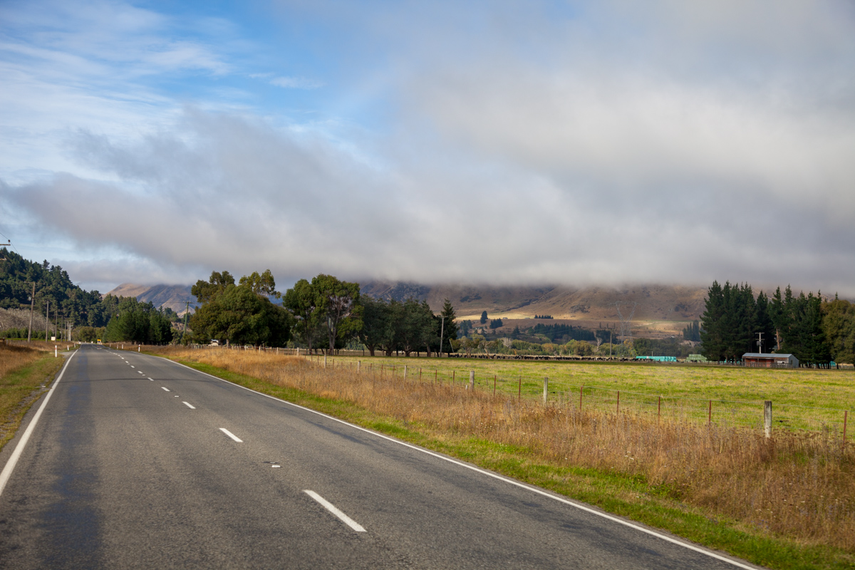
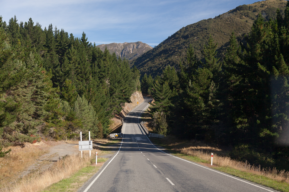


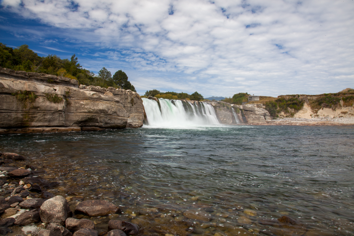
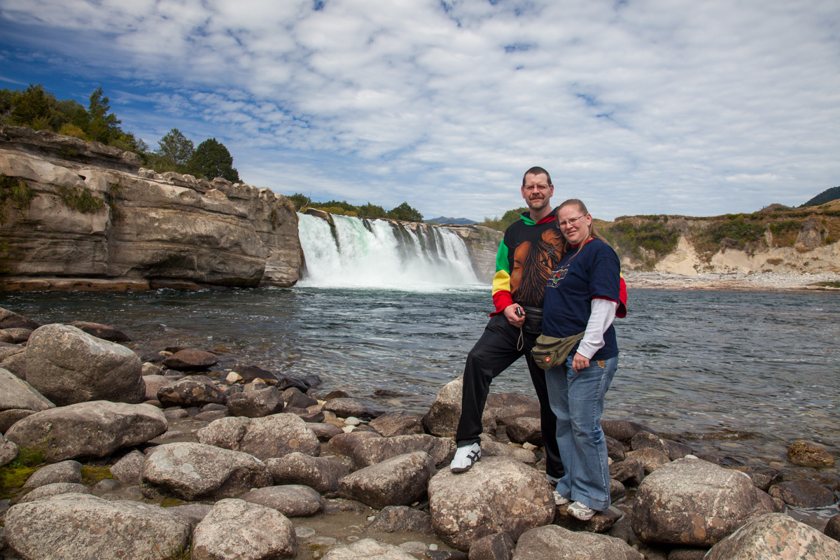
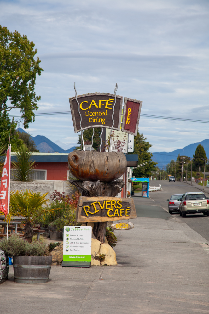



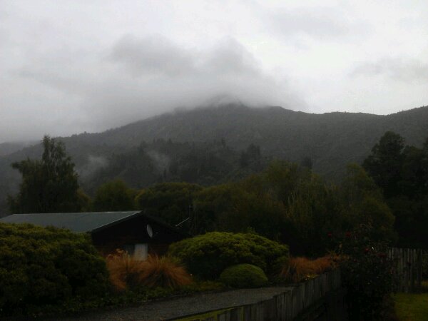
Map of the route “10 Maart 2012”: 178.145 m, 1.596 m of climbing and 1.791 m of descent, elevation between 148 m and 916 m, time 07:06:59. It starts at -42.51927, 172.82027 and ends at -41.80888, 172.32439 (latitude, longitude).