


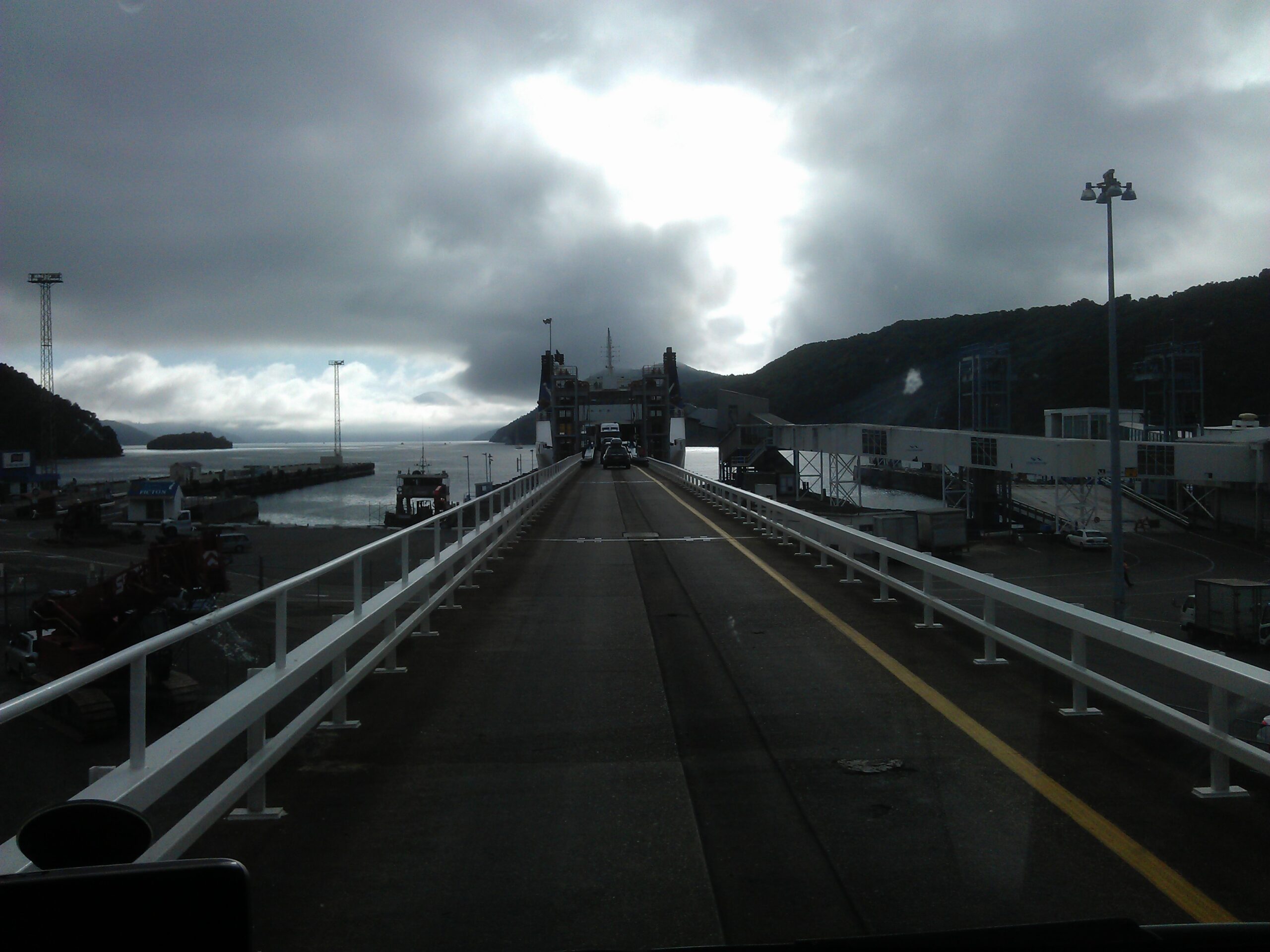

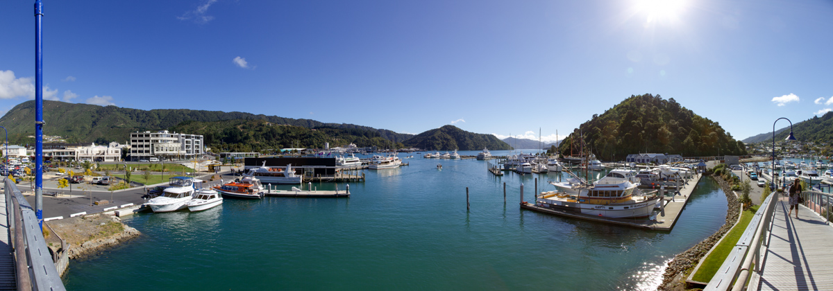
Map of the route “8 April 2012”: 11.090 m, 189 m of climbing and 213 m of descent, elevation between 11 m and 55 m, time 01:42:09. It is a loop that starts and ends at -41.27109, 174.04219 (latitude, longitude).

Map of the route “8 April 2012”: 11.090 m, 189 m of climbing and 213 m of descent, elevation between 11 m and 55 m, time 01:42:09. It is a loop that starts and ends at -41.27109, 174.04219 (latitude, longitude).
