
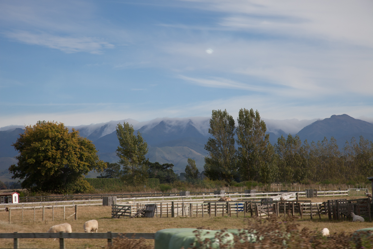
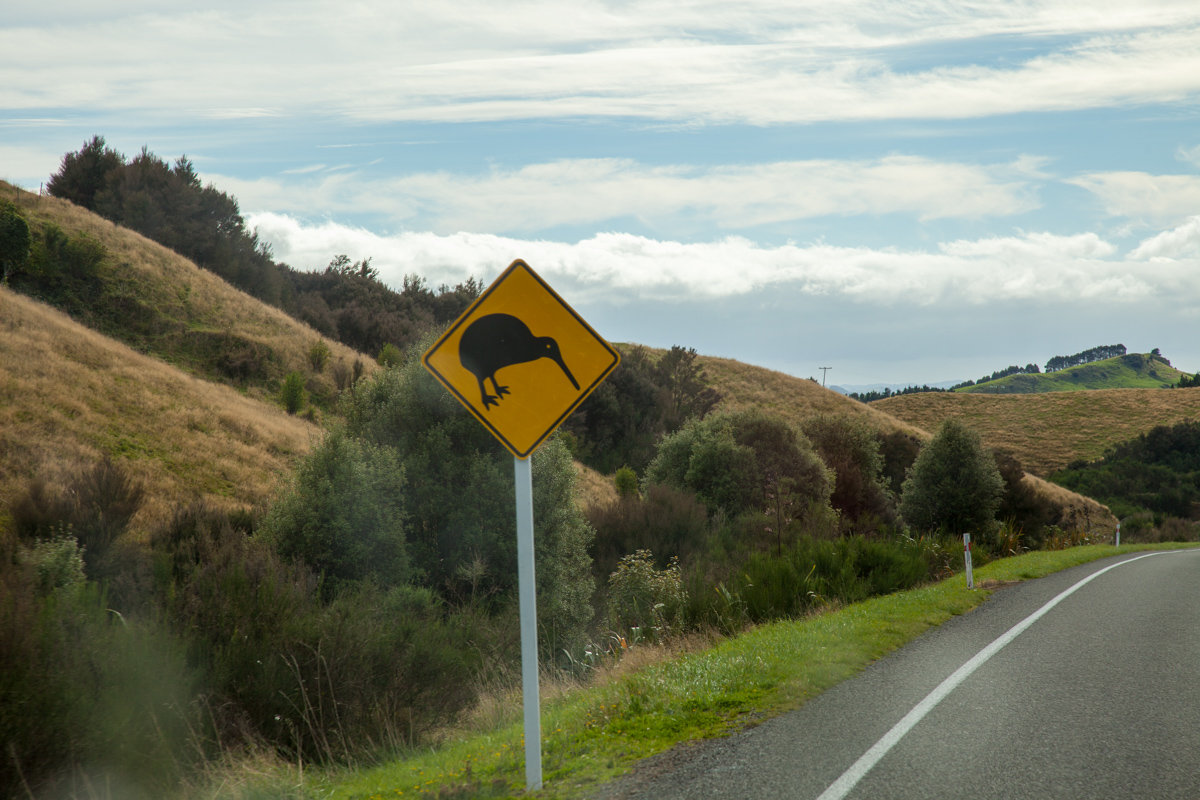









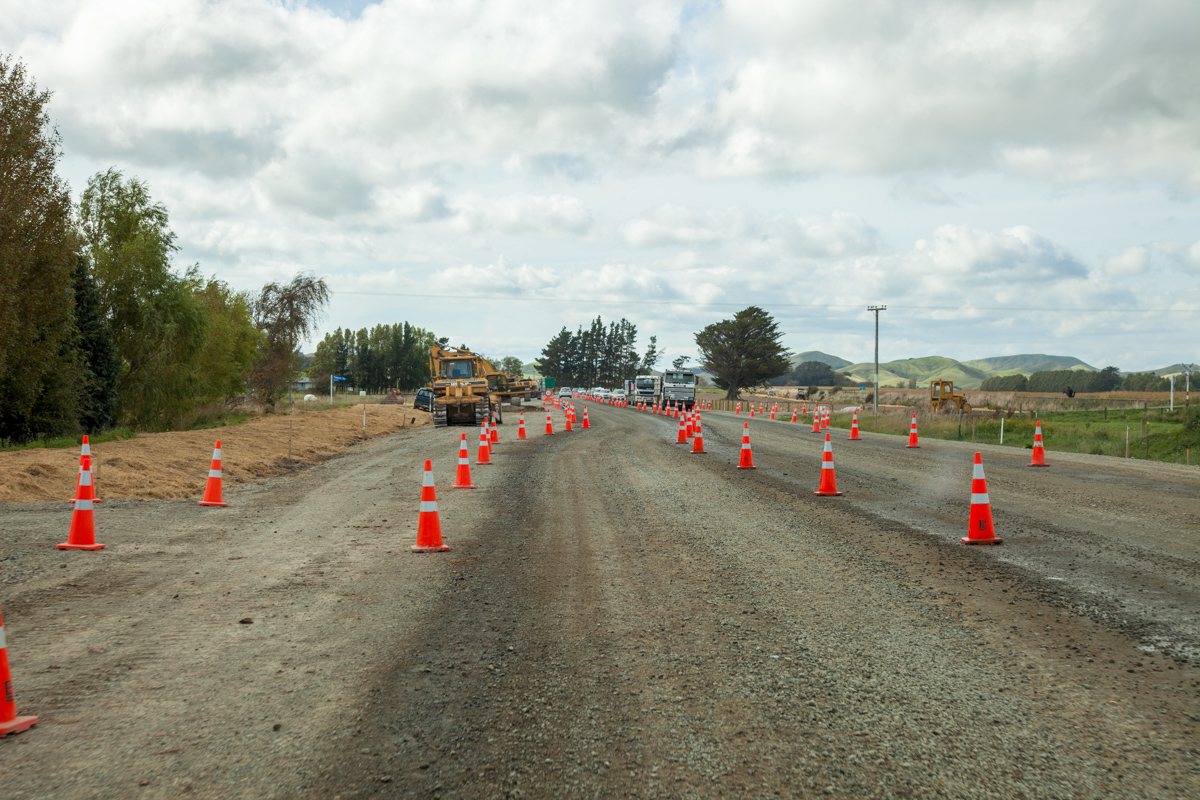
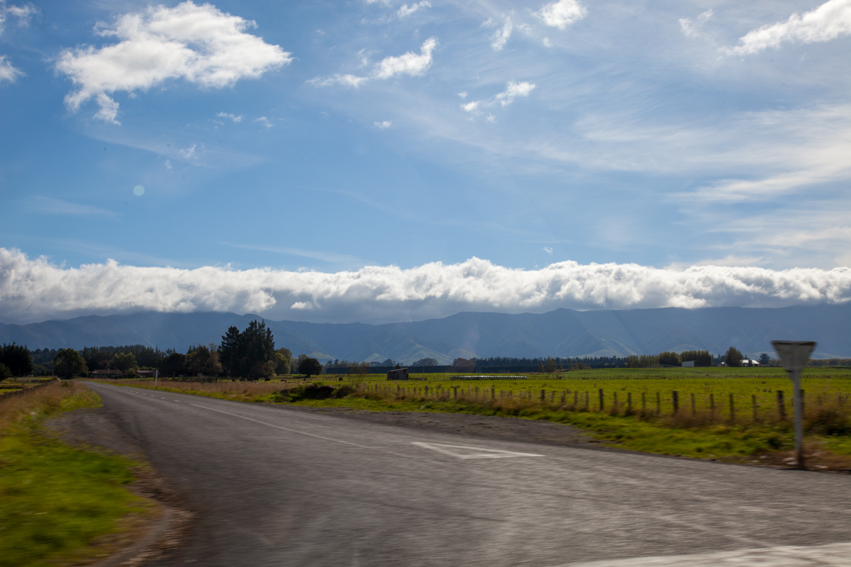
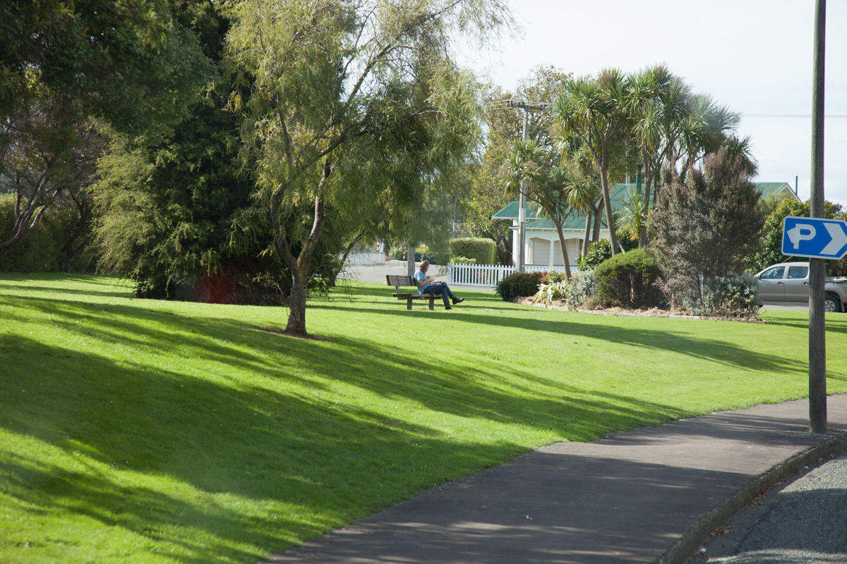

Map of the route “16 April 2012”: 218.268 m, 1.255 m of climbing and 1.629 m of descent, elevation between 29 m and 425 m, time 08:03:27. It starts at -40.94584, 175.66655 and ends at -39.64806, 176.86170 (latitude, longitude).
Category: Uncategorized