
ook nog te doen, hier wat andere info:
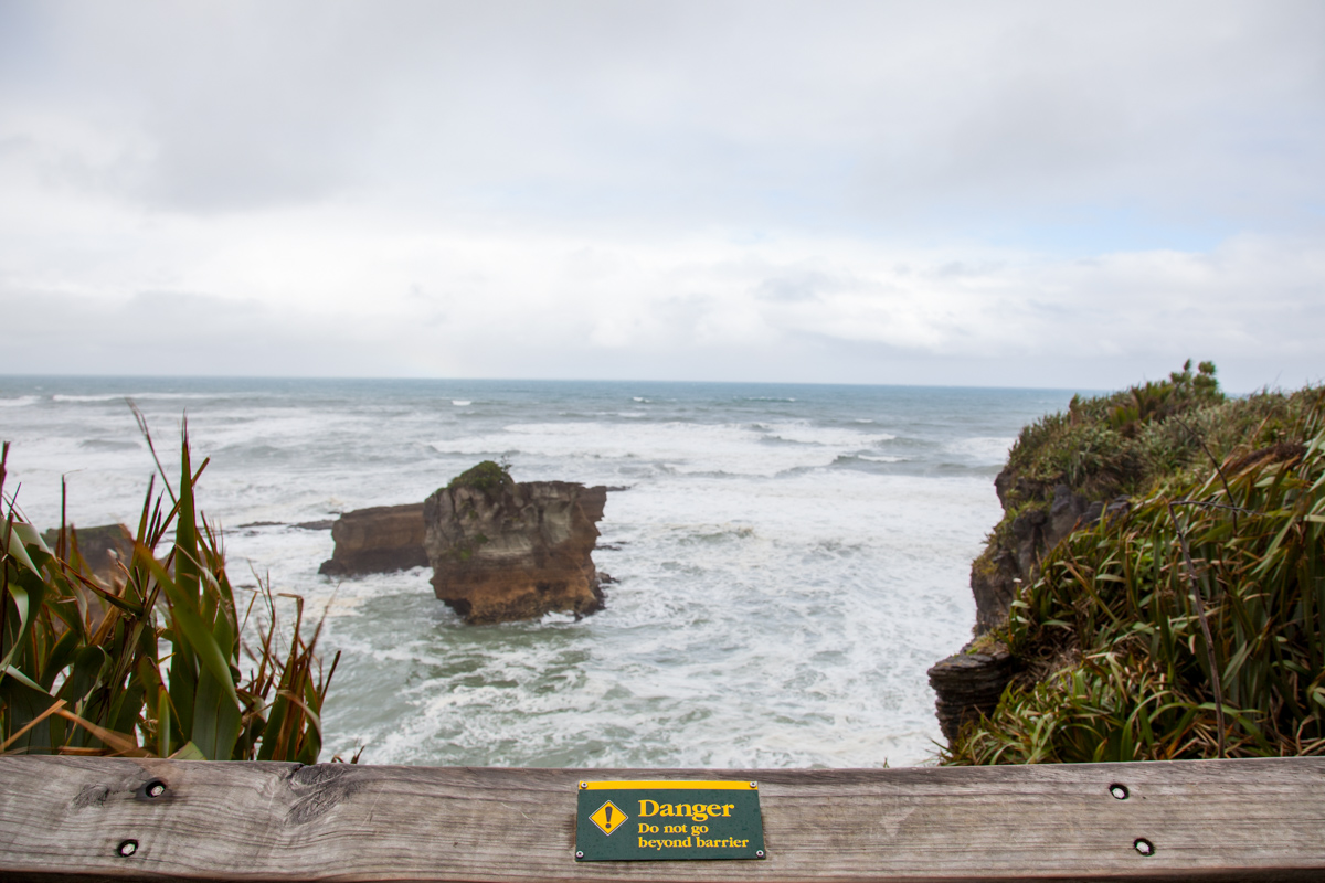
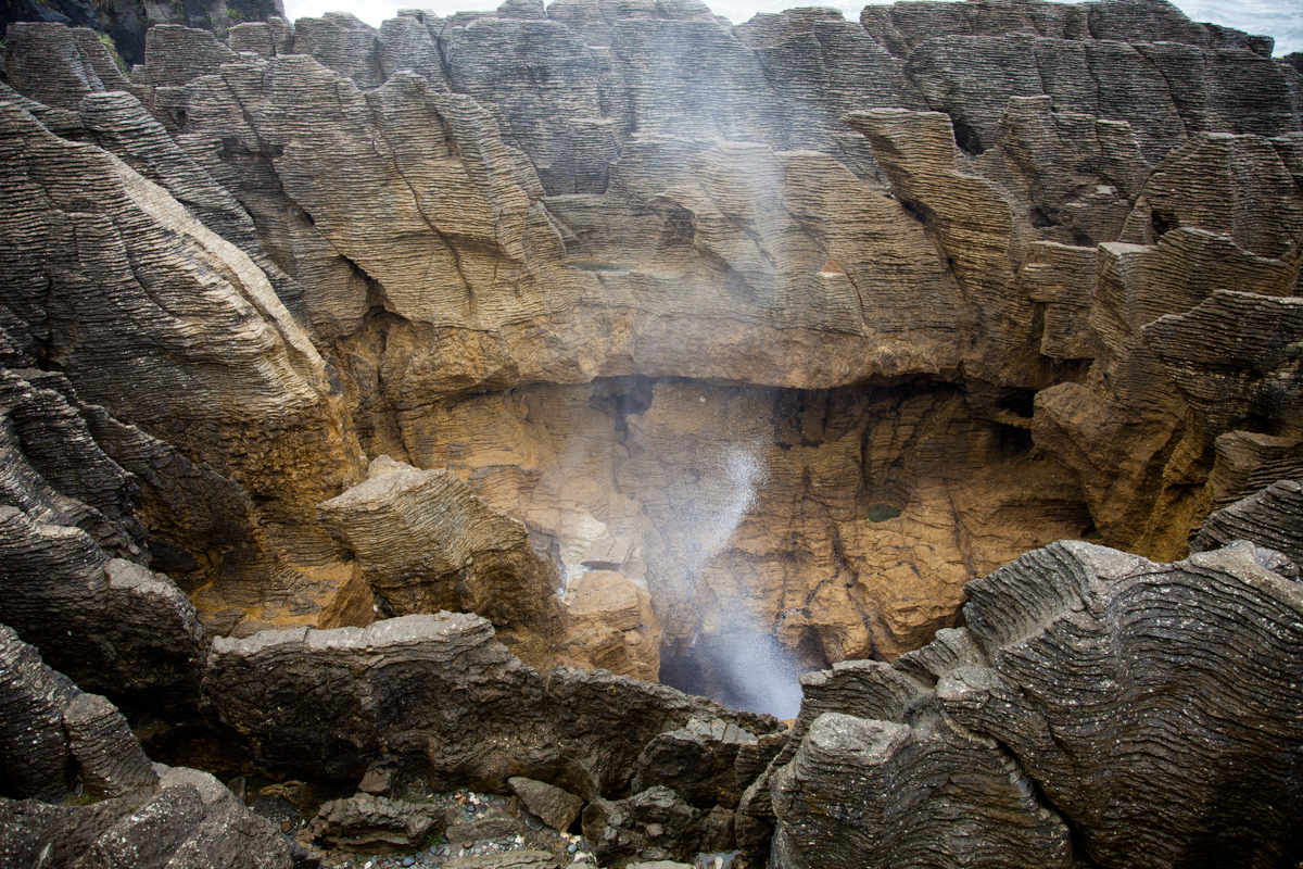
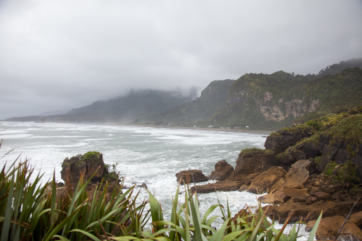

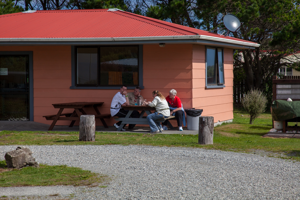



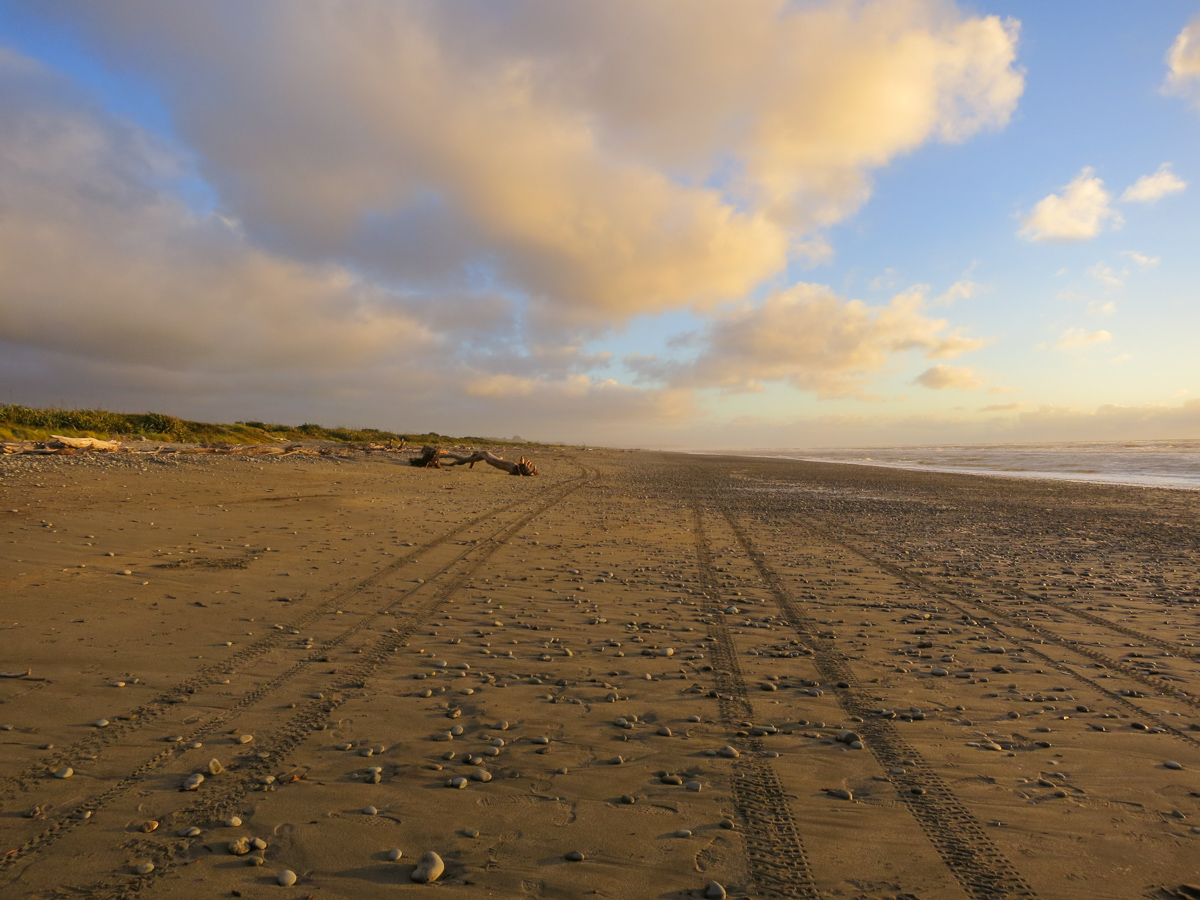

Map of the route “12 Maart 2012”: 110.420 m, 1.121 m of climbing and 1.252 m of descent, elevation between -48 m and 214 m, time 13:05:10. It starts at -41.75211, 171.61193 and ends at -42.49322, 171.17586 (latitude, longitude).
Category: Uncategorized