
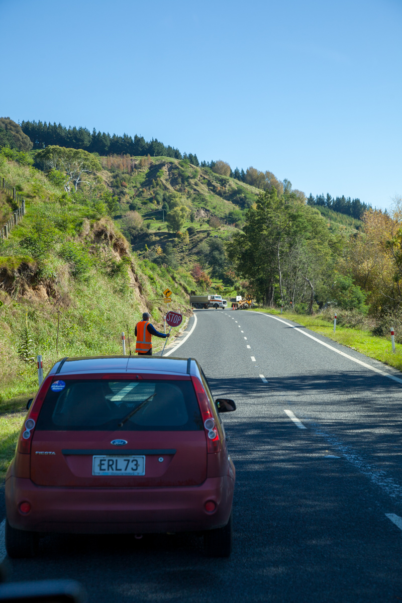
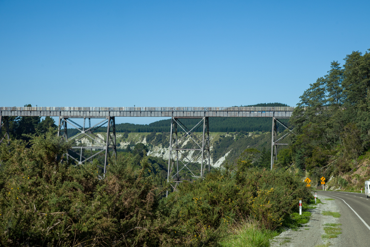

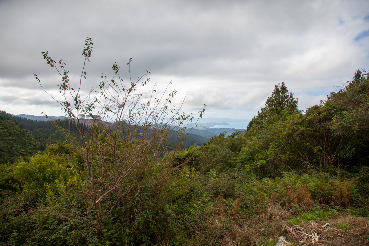
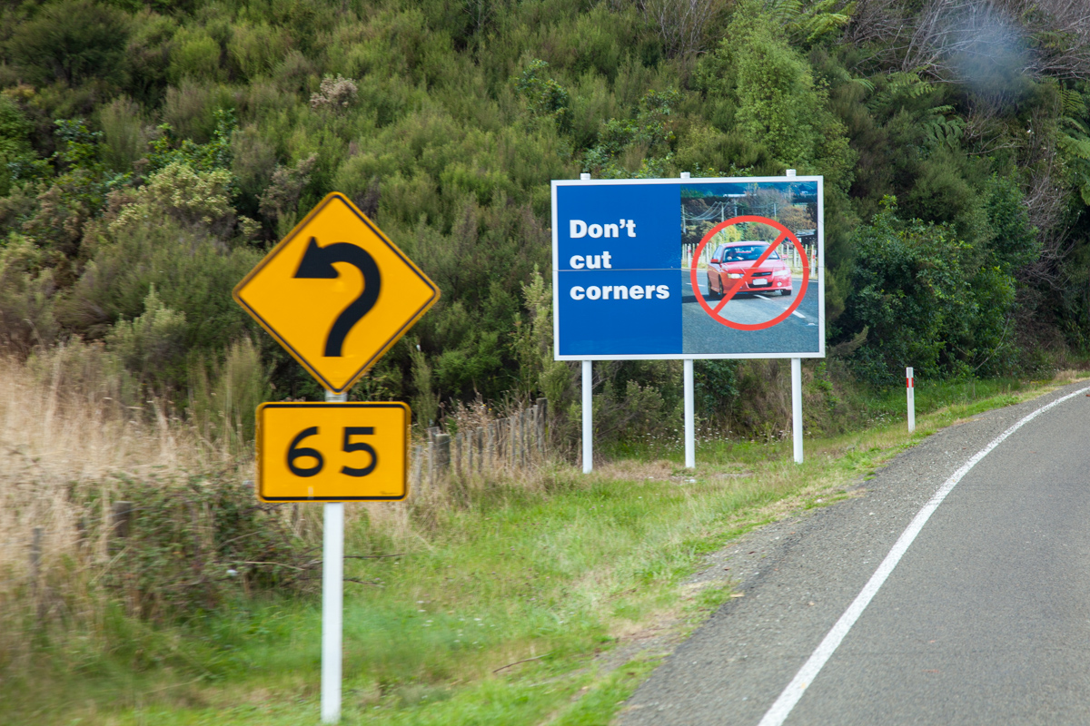

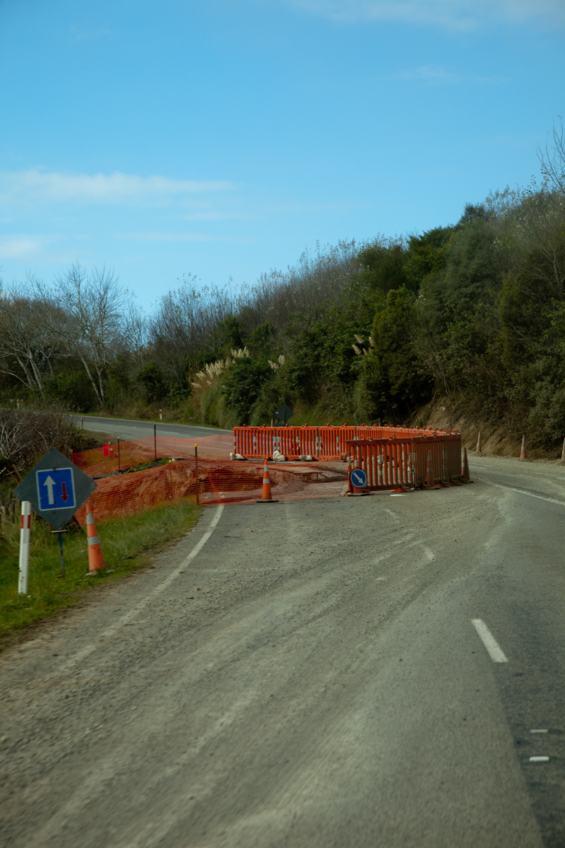
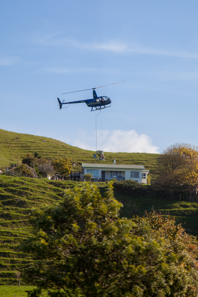
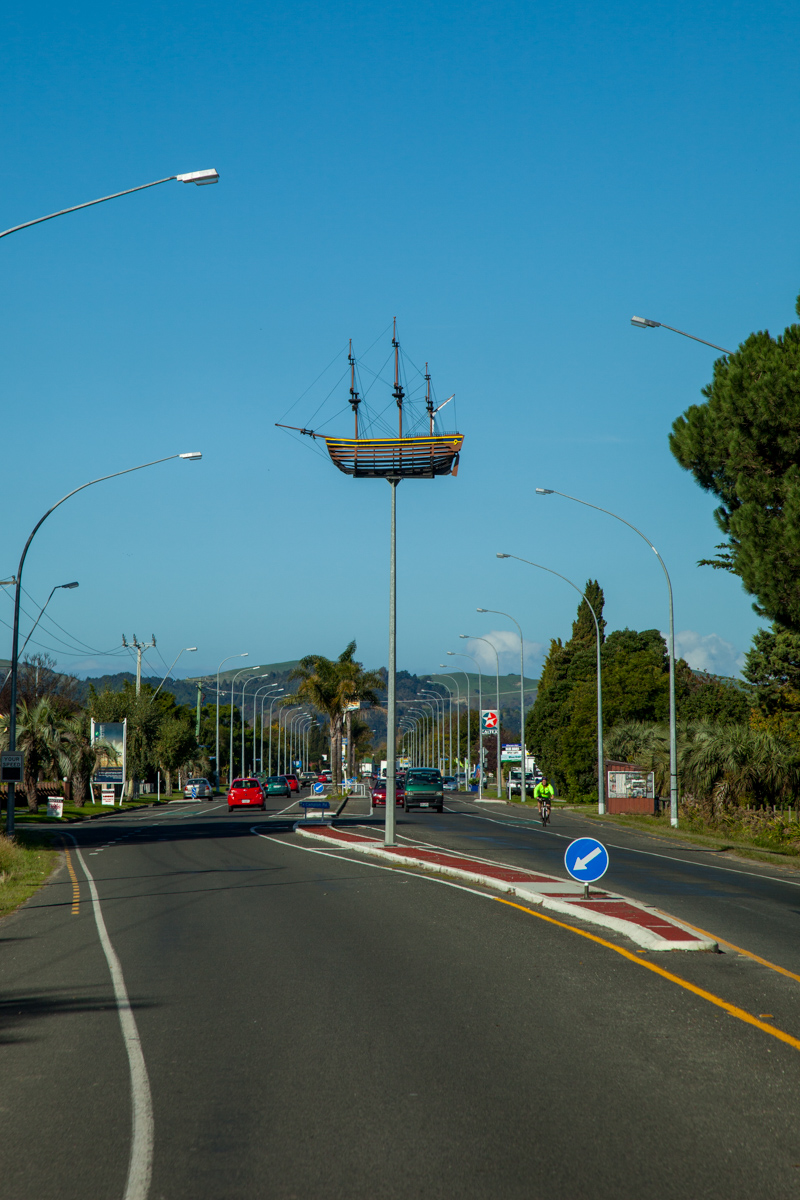
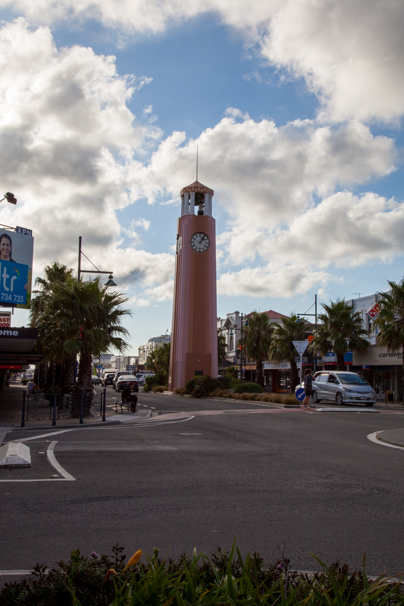



Map of the route “17 april 2012”: 238.371 m, 2.401 m of climbing and 2.397 m of descent, elevation between 17 m and 528 m, time 08:51:44. It starts at -39.64803, 176.86175 and ends at -38.67252, 178.02176 (latitude, longitude).
Category: Uncategorized